Why It Matters
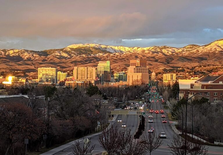
Montana faces a severe water shortage this summer as historic snowpack lows threaten rivers, reservoirs, and agricultural operations across the state. One-third of established snow-monitoring stations are recording their worst levels on record, with some low-elevation sites completely melted out by early April when snowpack typically peaks.
The combination of warm temperatures and inconsistent precipitation has left many basins holding far less water than normal, raising concerns about fire season and water availability for communities and farms statewide.
What Happened
The Natural Resources Conservation Service released its April Water Supply Outlook on Tuesday, revealing alarming conditions across Montana’s snowpack monitoring network. Of 250 stations with at least 20 years of data, 84 are sitting at record-low levels. Another 22 are reporting their second-lowest year on record.
Low-elevation monitoring sites had completely melted out by April 1, when they normally reach their peak for the water year. The water year begins October 1 and helps forecasters understand the relationship between winter snow accumulation and anticipated spring runoff.
NRCS water supply specialist Eric Larson highlighted how little snow many basins are holding despite decent precipitation in March. Above-average temperatures across Montana and the West are largely to blame for the poor snowpack conditions.
By The Numbers
Statewide temperatures ran 6 to 11 degrees warmer than average over the past 120 days. Livingston is experiencing its warmest year to date on record, with data dating back to 1948. Billings is seeing its second-warmest period since 1934.
Some monitoring sites show extreme variation based on elevation. In the Boulder drainage of south-central Montana, one site at 8,700 feet sits at typical April 1 snowpack levels while another at 6,700 feet registers just 7 percent of normal.
Basins in particularly poor shape include the Jefferson, Gallatin, Bighorn, Powder and Tongue River.
Zoom Out
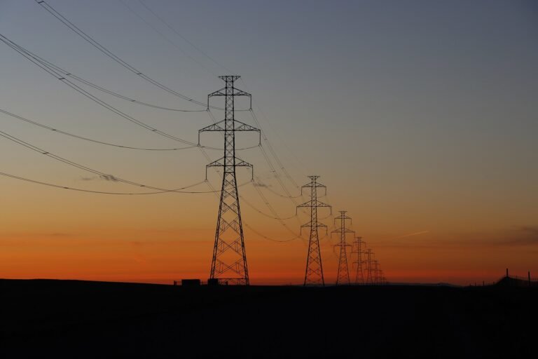
When temperatures stay above 32 degrees, precipitation falls as rain rather than snow. Rain does not sustain rivers and reservoirs the same way gradually melting snowpack does. Snowpack loss accelerates when temperatures stay above freezing through the night, which happened multiple times this winter even at high elevations.
National Weather Service warning coordination meteorologist Nick Vertz confirmed that virtually the whole state experienced above-average temperatures. The widespread warm conditions help explain why it felt like such a dry winter even as many regions received more precipitation than typical.
Larson described the year as unique, with warm temperatures, precipitation inconsistency, and elevation-based snowpack variations creating unusual conditions. Many basins added snowpack when storms came through only to lose much of it when warm spells arrived.
What’s Next
Montana’s water supply and fire-season outlook now depend heavily on precipitation over the next few months. Experts say the state’s fate rides on whether spring brings enough moisture to offset the historic snowpack deficit.
The dismal snowpack totals point to a difficult summer ahead for Montana’s rivers and reservoirs, with potential consequences for agriculture, municipal water supplies, and wildfire conditions across the Treasure State.