Hurricane Erin Grows in Strength
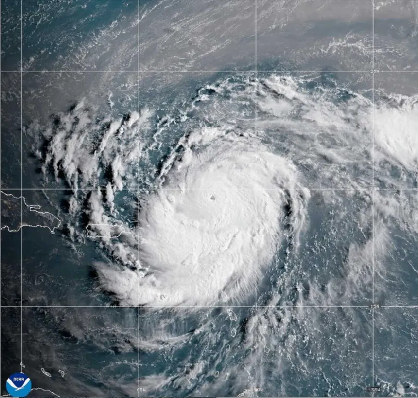
Hurricane Erin, the first major storm of the 2025 Atlantic hurricane season, has intensified into a Category 4 hurricane with sustained winds near 140 mph. Forecasters warn the system will remain a “large and dangerous” hurricane through midweek as it moves parallel to the U.S. East Coast.
The storm rapidly strengthened over the weekend, briefly reaching Category 5 status before weakening slightly. It has since regained power and is continuing its west-northwest track.
Impact on the Caribbean and Bahamas
Erin’s outer rainbands have already reached the southeastern Bahamas and the Turks and Caicos Islands, where tropical storm warnings remain in effect. The National Hurricane Center (NHC) projects up to six inches of rainfall in some areas, which could cause localized flooding.
Puerto Rico and the U.S. Virgin Islands experienced heavy rains and strong winds over the weekend, leaving more than 150,000 customers without electricity before emergency crews restored most service.
Threat to the U.S. Coastline
Although current forecasts show Erin staying offshore, the storm is expected to generate life-threatening surf, rip currents, and coastal flooding along much of the U.S. East Coast from Florida through New England.
The Outer Banks of North Carolina are preparing for the most immediate impact. Officials in Dare and Hyde counties have declared local states of emergency. Mandatory evacuations were ordered for Hatteras Island and Ocracoke Island, with ferry services running full schedules to aid residents and visitors leaving the area.
Authorities cautioned that North Carolina Highway 12 could become impassable due to ocean overwash and flooding.
Forecast Path
As of Monday, Erin was located about 880 miles south-southeast of Cape Hatteras, North Carolina, moving at roughly 10 mph. The NHC expects the storm to gradually turn northward, passing east of the southeastern Bahamas and then tracking between Bermuda and the U.S. East Coast later this week.
Forecasters say Erin’s hurricane-force winds extend up to 80 miles from the center, while tropical-storm-force winds reach nearly 230 miles outward, underscoring the storm’s massive size.
Outlook
Coastal communities along the U.S. East Coast are urged to monitor updates and heed local evacuation orders. Even if Erin does not make direct landfall, its size and strength mean dangerous conditions are likely throughout the week.
Related Coverage
- Idaho News – https://idahonews.co/idaho-news-3/
- National News – https://idahonews.co/national-news/
- Global News – https://idahonews.co/global-news/